Product on sale
Georgia Shaded Relief Map by the USGS Online Hot Sale
25 people are viewing this right now
6 products sold in last 16 hours
Selling fast! Over 16 people have this in their carts
- Estimated Delivery : Up to 4 business days
- Free Shipping & Returns : On all orders over $200
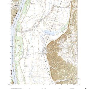
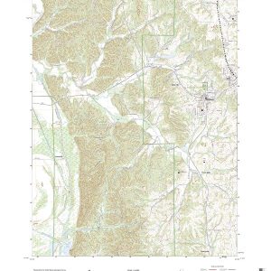
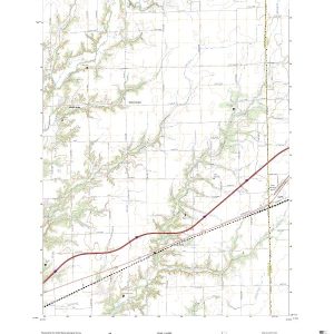
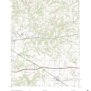
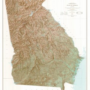
This map by the US Department of Geological Survey was first drawn in 1963. This 1970 exquisite edition uses shaded relief to portray the land which combines shading with elevation tints that portray landforms much more clearly than contour lines. These techniques and elevation colors make mountains, highlands and valleys immediately obvious. This map is shipped rolled in a study tube.
Scale 1:500,000
This map is rolled and shipped in a sturdy cardboard tube.
| Size | 36×41, 42×48, 48×55, 56×64 |
|---|---|
| Material | Paper, Laminated, Laminated with Hanging Rails |